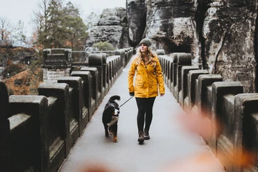
Ridge hike on the Schrammsteine


- 2:50 h
- 7.43 km
- 368 m
- 363 m
- 119 m
- 399 m
- 280 m
- Start: Schmilka, ferry landing stage
- Destination: Postelwitz bus stop, Ostrau junction
Schmilka – Roßsteigel – Elbleitenweg – Breite Kluft (+ Aussicht) – Gratweg – Schrammsteinaussicht – Jägersteig – Schrammtor – Obrigensteig – Zahnsgrund – Postelwitz

Good to know
Pavements
Best to visit
Directions
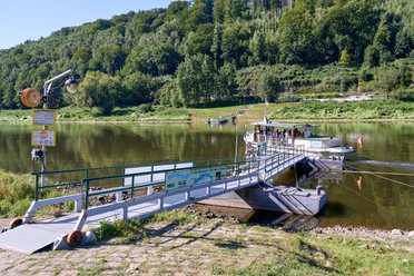
The hike starts in Schmilka at the ferry landing stage. We cross the quaint village and climb the root path uphill to the left fork (Roßsteigel) until we meet the Elbleitenweg.
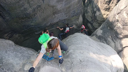
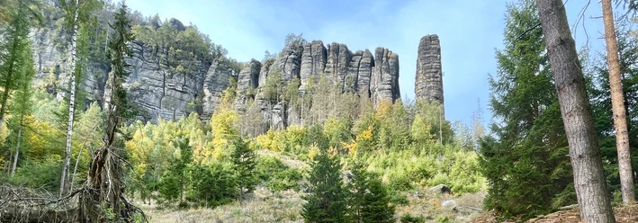
Here we turn left (green dot markers) and hike to the next fork marked with signposts. At this point, we ascend the Breite Kluft to the right (green line) to the Schrammsteinweg, turn left here (blue line and Malerweg markers) and follow the ridge path (unmarked in the rear third, green line at the end). The ridge path leads to the spectacular Schrammstein viewpoint – jagged rocks, table mountains, and vast landscapes as far as the eye can see!
From here, we initially hike back the same way, past the first descent to the right (Wildschützensteig) and descent to the left (Mittelwinkel), to the second path branching off to the right (Jägersteig, blue line). It leads us down between the rocks via stairs. Once at the bottom – we are now on the Front Promenade – we turn right and soon reach the Great Schrammtor. At the crossroads with the National Park information board, we take the path that goes straight ahead (yellow and blue line).
At the next fork, we continue straight again (Obrigensteig, yellow line). After numerous stairs, this finally leads steeply to the Zahnsgrund. We cross the street, turn right onto the footpath, and follow it for a few minutes down to Postelwitz to the bus stop, where our hike ends.
Tour information
Stop at an Inn
Summit
Directions & Parking facilities
Additional information
- Alle Regeln im Nationalpark
- Tipps zum sicheren Wandern in der Sächsischen Schweiz, erstellt in Zusammenarbeit mit der Bergwacht
- Hinweise zum Umgang mit Totholz für Wanderungen besonders durch abgestorbene Fichtenbestände
Author´s Tip / Recommendation of the author
The route is suitable for children, but not for dogs.
Safety guidelines
Surefootedness and a head for heights are required.
Nearby