Current Announcements
Here we inform you about current measures in the region that impact tourist activities in the holiday region of Saxon Switzerland. This ensures you remain well-prepared for your stay.
Here we inform you about current measures in the region that impact tourist activities in the holiday region of Saxon Switzerland. This ensures you remain well-prepared for your stay.

Removal of damaged timber following the severe weather
Since the end of August, damaged timber has been cleared in the vicinity of the spa resort of Rathen. Consequently, only one of the two Gamrig car parks in Waltersdorf is open.
Day visitors should travel via the left bank of the Elbe to Oberrathen. Visitors can arrive either by S-Bahn or by car as far as the Elbe car park. From there, they cross the Elbe by ferry.
Details of the closure of the affected woodland areas under the general administrative order are available on the District Administration Office's website.
07/10/2026, 9:30 am

Stage 2 - Storm damage
A storm at the end of July caused considerable damage in the area around the spa resort of Rathen. As a result, the following diversion applies to Stage 2:
The Malerweg from Wehlen to the Bastei is passable.
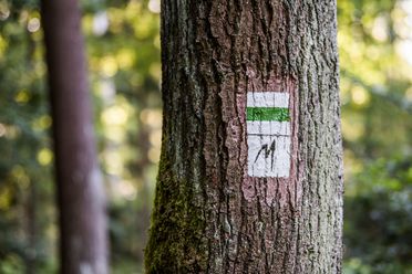
From the Bastei, please follow the “blue stripe” trail marker to the entrance to the Schwedenlöcher, then descend to the Amselgrund and continue along the Malerweg to Rathewalde. As the Schindergraben in the Polenztal valley, which leads up to Hohnstein, is also currently closed, please follow the "green stripe" trail marker from the Polenztal inn up to Hohnstein Castle.
The hiking trail through the Kohlichtgraben is currently impassable due to many dead bark beetle spruce trees that could fall at any time. As the affected section is private forest, the trail cannot be cleared by the national park and forest administration. There is currently no prospect of short-term clearance in this steep terrain. It is therefore strongly recommended to avoid this section and divert via the Yellow Stripe and the road over Goßdorf. The road between Goßdorf and Kohlmühle is expected to remain closed to vehicles until the end of 2026 but is accessible to pedestrians.
For Malerweg hikers, this extends the route by 2.2 km. Detour link: https://mapy.com/s/hufusedore
Alternatively, the section can be bypassed via Waitzdorf, and instead, from the Brandstufen, one can hike along the Blue Stripe (ZW, E3 and EB). This way, you reach Kohlmühle through the Tiefen Grund via the Frinztalmühle and along the Sebnitz. This shortens the route by about half a kilometre.
The lower part of the Bergsteig is impassable due to the very high risk of falling trees. The detour leads via the Winterbergstraße and Erlsgrund to the stage destination in Schmilka. The detour is approximately 700 m longer.

Sächsische Dampfschifffahrt | White Fleet
Due to the low water level of the Elbe, the following changes currently apply up to and including 12 October 2026:
Last updated: 9 October 2026 – 10:00

Due to security deficiencies, the Neurathen rock castle is closed until further notice. It is currently not possible to visit the Neurathen rock castle.
The route via the Bastei Bridge is NOT affected.
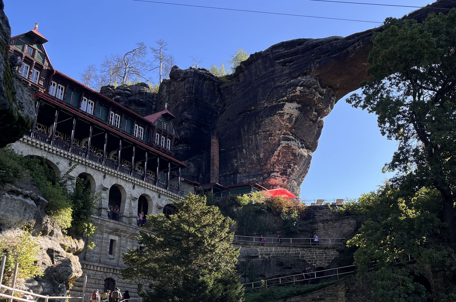
Pravčická brána, Edmund's Gorge and Wild Gorge
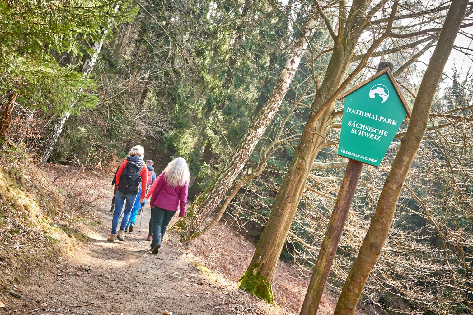
Please always adhere to the following forest commandments as a matter of principle:
Information on temporarily impassable paths at the National Park Centre's info telephone: 035022 502 40 and online.
Bare branches, brown needles, fallen trees. In some areas of the national park region, the traces of the bark beetle are unmistakable. In the national park region, natural forest development is taking place: spruce forests are dying; healthy mixed forests are regenerating. Until this lengthy process is complete, special precautions apply here due to the risk of falling trees: Avoid the forest in strong winds, heavy rain, or snow loads. Do not stand under broken branches or treetops. You enter the forest at your own risk.
Some paths are impassable due to fallen trees (bark beetle damage) or because of the acute danger of further tree breakages. Please check the current situation before your hike on the following pages, use the info phone, or inquire at your accommodation on site or at tourist information centres.
Telephone service National Park Centre:
+49 35022 50240 (daily 9 am – 6 pm, Sundays and public holidays 9 am - 3 pm)
Telephone service Sachsenforst (Neustadt forestry district):
+49 35023 66230 (weekdays during office hours)
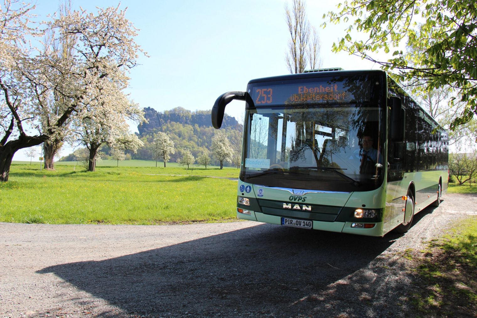
Information on public transport services including train, suburban train, bus, ferries, and the Kirnitzschtalbahn can be obtained from the following links:
For information on trips with the Saxon Steamship Company and any pre-bookings, please click here:

On the portal of the Sächsische Schweiz district office, you will find current information on roadworks in the district:
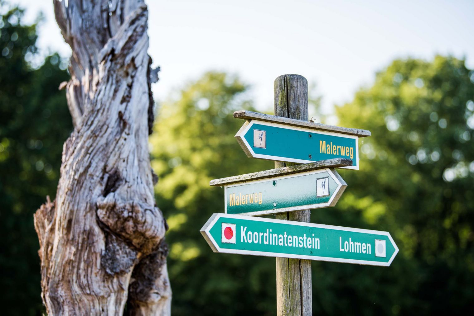
A hiking sign is damaged or missing? Markings have faded, or trees have been freshly felled, and no markings are visible? A freshly fallen tree is blocking the hiking path? Please report this directly on the defect report website of the National Park region.
It is very important that you provide the exact location. If available, a picture is welcome. However, location coordinates or a very precise description or marking on a hiking map are also sufficient. Thank you for your support!