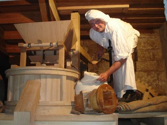
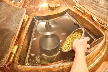
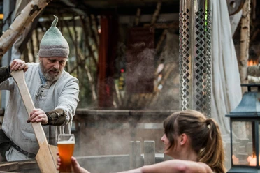
Schmilka boiler


- 3:30 h
- 7.98 km
- 355 m
- 368 m
- 127 m
- 465 m
- 338 m
- Start: Schmilka
- Destination: Schmilka
Route: Schmilka - Heringsgrund - Heilige Stiege - Carolafelsen - Reitsteig - Wurzelweg - Schmilka

Good to know
Pavements
Best to visit
Directions
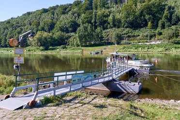
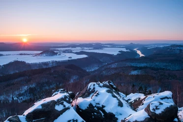
But let's start at the beginning. Once you have arrived on the Schmilka side by S-Bahn and ferry, the route takes you past some nice places to stop for refreshments. If you're lucky, even the mill bakery is open and you can buy some provisions for the way. Don't pack too much in your rucksack, however, as there is a good climb right at the start. On the asphalted Winterbergstraße, the trail continues uphill to the "Zwieselhütte" junction. Now you continue straight ahead, but on pleasant forest ground. The path over the Heilige Stiege requires a lot of stamina and strength in the thighs, but on the other side you are rewarded with many small and larger views. A little later comes the really great view from the Carola Rock. From up here, you can see almost the entire front of Saxon Switzerland. The cathedral, the Falkenstein, the Schrammsteine and the Lilienstein are particularly striking.
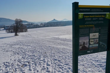
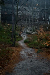
The trail continues along the Reitsteig, passing individual views, such as the Wenzelwand, or crossing the "bark beetle forest". On the Reitsteig, near the ascent to the Lehnsteig, you can visit the "Paths to Wilderness" adventure and information trails. The first part, opened in November 2022, shows how diverse and vital the forest has regenerated on its own in 15 years. The second part of the trail, which opened in October 2023, leads through areas where many young birch trees, mosses, fungi and other plants have grown back on their own just one year after the fire in August 2022. The paths are very well marked, making it easy to find your way around. The root path then takes you back down to Schmilka.
Tour information
Loop Road
Stop at an Inn
Equipment
- Onion-skin clothing and winter hiking boots
- Backpack with hiking map, snacks, thermos flask with a warm drink, smartphone, flashlight, first aid kit
- Hiking poles, ice goggles
Directions & Parking facilities
Schmilka, public parking lot on the Elbe
from/to Schmilka: S-Bahn S1, National Park Railway, Bus 252
Timetable information: www.vvo-online.de
Additional information
Author´s Tip / Recommendation of the author
Safety guidelines
The hiking trails are not cleared of ice and snow. Please refrain from the winter hike in icy conditions.
Map
Nearby

Download GPX file