Königstein: hike to the Lilienstein


- 3:00 h
- 6.40 km
- 467 m
- 467 m
- 114 m
- 411 m
- 297 m
- Start: Ferry terminal Königstein Saxon Switzerland
- Destination: Ferry terminal Königstein Saxon Switzerland
Königstein ferry - Sellnitz - northern ascent upwards - various viewpoints - back southern descent - Königstein ferry

Good to know
Pavements
Best to visit
Directions
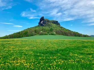
The unmistakable Lilienstein is the only table mountain on the right side of the Elbe (looking downstream) in the Saxon Switzerland National Park. From many viewpoints it is visible in the Elbe Sandstone Mountains and stands directly next to Königstein. Only the Elbe separates the two monumental mountain giants.
Even August the Strong did not miss climbing it. An obelisk from 1708 still commemorates the memorable presence of the monarch on the summit. The ascent from the Elbe valley is short but also strenuous. In return, a fantastic panoramic view from the summit plateau rewards you.
The starting point of your hike is the town of Königstein. The ferry takes you to the other side of the Elbe to the district of Halbestadt. Follow the blue line as a marker. Right between the houses, a very steep footpath leads uphill. It continues almost flat along the Kirchweg at the edge of the forest and the steep Elbe hillside. This way you reach Sellnitz, an old hermitage.
On the meadow there are numerous stations on the theme of nature. Swap your mobile phone for a moment for a tree telephone or feel different soil textures on the barefoot path. Surely you will also find a spot here for a picnic to recharge your energy for the ascent.
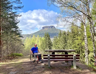
Now it gets significantly steeper. The northern ascent to the Lilienstein is short but demanding and leads uphill close to the rock over stone steps and iron ladders. On the expansive summit plateau, a circular path with steps, ladders, and gratings leads to numerous uplifting views in all directions. Whether it is the view to Rathen and the Bastei in the north, the Königstein fortress and the Pfaffenstein in the south, or over to the east, beyond Bad Schandau and the Elbe towards the Schrammsteine and the Zirkelstein.
There is also a mountain inn and two historic obelisks on the mountain plateau. Downhill, the less steep southern descent winds its way through the forest. A field path leads you to the Hotel Lilienstein. To the right behind its parking lot, the hiking path leads downhill towards Königstein ferry.
Tour information
Loop Road
Stop at an Inn
Summit
Directions & Parking facilities
By car on the B172 to the town of Königstein roundabout.
A parking lot is located at the Königstein roundabout and on the Elbe as well as on the road towards Bielatal.
Arrival/Departure:
- S-Bahn S1 to Königstein
- Bus line 241 Stop: Königstein Reißigerplatz
Additional information
Literature
Order now: Hiking guide
Author´s Tip / Recommendation of the author
The hiking trail is not suitable for dogs.
It demands good fitness from children and older people.
Safety guidelines
Please note: in the Saxon Switzerland National Park, only marked trails may be used in the core zone! Fines may be imposed for violations.
Map
Buy here: Hiking map
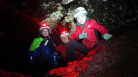
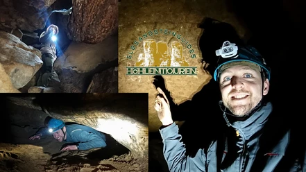
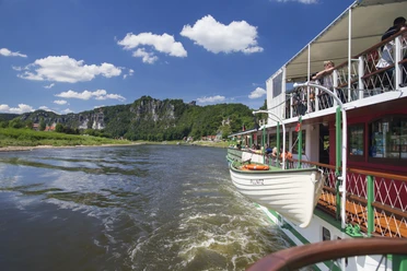
Nearby


Download GPX file