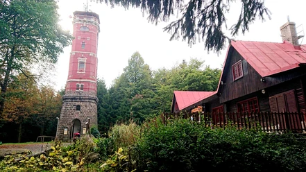
Tanzplan observation tower (Tanečnice, Czech Republic)


The eight-sided stone tower is the northernmost observation tower in the Czech Republic. The first wooden tower stood there as early as 1887, but it fell victim to a storm in 1903. A new tower was put into operation in 1905. The construction was financed by Count von Salm-Reifferscheidt.
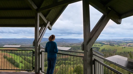
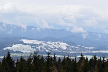
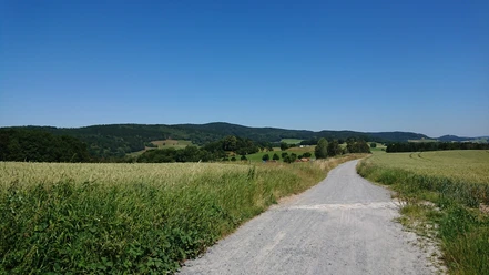
There is a source of drinking water at the top of Tanzplan, which is why a 25 m deep well was dug there. From the observation tower, you have a magnificent view of the Elbe Sandstone Mountains and the Lusatian Mountains. You can see over the Schluckenauer Zipfel as far as Lusatia. On a clear day, you can also see the Ore Mountains and the Giant Mountains. The name of the mountain goes back to a legend according to which a beautiful young girl seduced a hunter with her dance here.
Good to know
Openings
daily 9:00 - 18:00
Price info
Children 6-12 years: 10 CZK
Children up to 6: free of charge
General information
Parking Available
Directions & Parking facilities
Bus stop: Hertigswalde Waldhaus, Hertigswalde
Footpath: approx. 1 hour
Parking facilities:
Mikulášovice, parking lot
Distance from the parking lots:
Mikulášovice, parking lot: 4 km
Our recommendations


Nearby