© vaclav /415999456 / stock.adobe.com

In the Saxon-Bohemian Switzerland

The Saxon Switzerland in Germany is bordered by the Bohemian Switzerland in the Czech Republic. Many excursion destinations on both sides of the border can be reached with the National Park Railway, as well as by bus, S-Bahn, and ship. Here we present tours whose starting and ending points are easily accessible by public transport. The hikes run cross-border or begin and end completely in the Bohemian Switzerland.

Current Hiking Recommendations

A current orientation map with practical hiking tips for your visit to Bohemian Switzerland has been created together with the National Park Administration of Bohemian Switzerland.
With this, you are well prepared. The bus connection at 1-hour intervals between Hřensko and Mezná on weekends makes it additionally easier for you to reach one of the Czech hiking destinations gently by public transport. For further current information, please visit the pages of the Bohemian Switzerland.

©  České Švýcarsko, o.p.s.
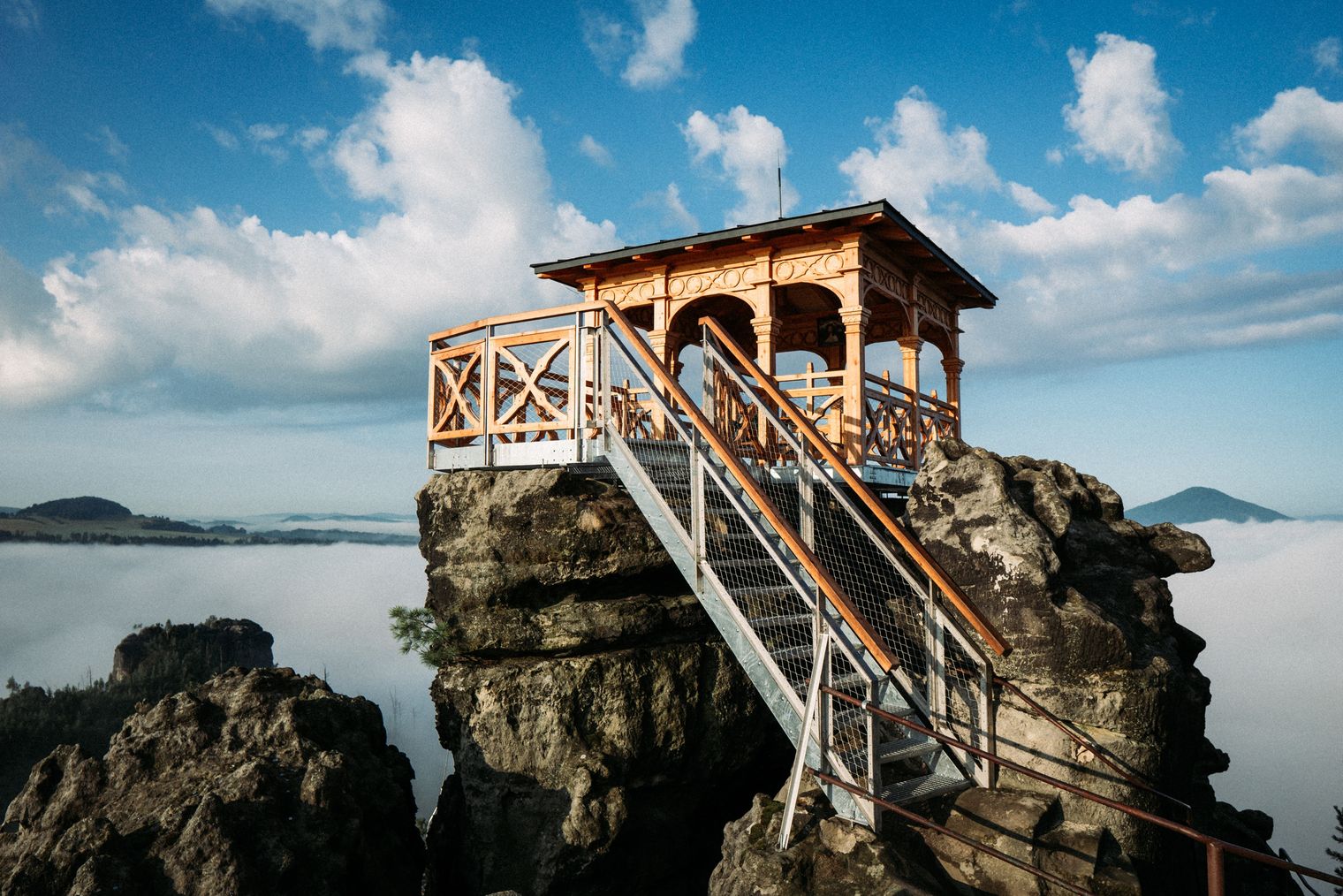
Holzpavillon auf einer Felsformation mit Treppe, umgeben von einem Nebelmeer.
© České Švýcarsko, o.p.s. /A. Kubíček

1000 beauties on 100 km

The Ridge Trail in the Bohemian Switzerland

Rock towns, walls and towers, breathtaking views. The Ridge Trail through Bohemian Switzerland is an adventure hiking trail that leads hikers on a 100 km journey through the most beautiful, but also unknown places of the Saxon-Bohemian Switzerland National Park region. You hike from the foot of the Ore Mountains to the first peaks of the Lusatian Mountains along ancient, but also newly marked trails. Divided into six stages, you can hike this route from Tisá to the Jedlová train station in 6 days. The shortest stage is 11 km, the longest more than 20 km. The model for this is the Painters' Way (Malerweg) in the Elbe Sandstone Mountains.

Looking for More Hiking Inspiration?

You will find almost 200 additional routes for hiking & cycling in Saxon Switzerland in our route planner.
All tours are also available there for download as a PDF and with a GPX track.