Tour 5: From Bad Schandau to Taubenteich


- 2:50 h
- 35.38 km
- 590 m
- 590 m
- 117 m
- 452 m
- 335 m
- Start: Bad Schandau Tourist Information
- Destination: Bad Schandau Tourist Information
Bad Schandau - Cunnersdorf - Taubenteich - Großer Zschirnstein - Reinhardtsdorf-Schöna - Elbe Cycle Route - Krippen - Bad Schandau

Good to know
Best to visit
Directions
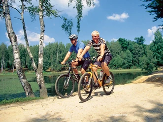
The route heads downhill to Cunnersdorf, where we join the Saxon Low Mountains Long-Distance Bike Trail and then turn left onto Taubenbachweg heading south. Passing the Waldbad, we cycle parallel to the Cunnersdorfer Bach. It’s nice and shady here even in summer. We stay on Taubenbachweg until we reach the Taubenteich, a pond right on the Saxon-Bohemian border. The Forststeig trail also runs through here. There are covered rest areas.
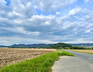
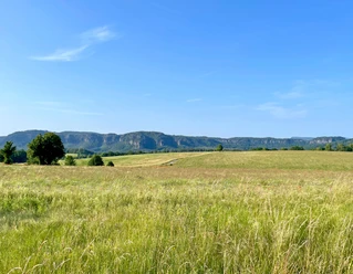
After a short break, we continue parallel to the border, first with a steep climb and descent toward Zschirnstein, and then on to Reinhardtsdorf-Schöna, where a fantastic panoramic view of the Schrammsteine opens up before us. In the village, we head down to the Elbe through the Hirschgrund to the Elbe Cycle Path, which takes us via Krippen back to Bad Schandau.
Tour information
Loop Road
Stop at an Inn
Summit
Equipment
Directions & Parking facilities
Park-and-Ride at the National Park Station or the parking lot at Elbkai (An der Elbe 12).
Bus stop: Bad Schandau Markt
- Line 241 (Pirna – Königstein – Bad Schandau – Hinterhermsdorf)
- Line 252 (Schmilka – Ostrau – Bad Schandau – Krippen – Reinhardtsdorf-Schöna)
Stop: Bad Schandau National Park Station—the starting point can be reached by ferry from Bad Schandau
- S-Bahn S1 (Meissen-Triebischtal – Dresden – Bad Schandau – Schöna)
- National Park Railway U28 (Rumburk – Sebnitz – Bad Schandau – Děčín)
- RE 20 (Dresden – Bad Schandau – Litoměřice)
- Various bus routes in the region
Safety guidelines
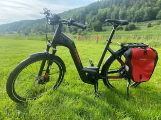
The route is generally rideable on any bike, but road cyclists should still make sure their tires are wide enough and/or have sufficient tread.
Nearby







Download GPX file