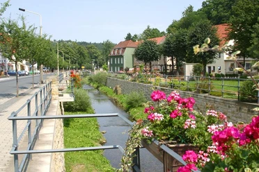
Hike from Bad Gottleuba to the dam and the Raabsteine
- 2:10 h
- 7.25 km
- 179 m
- 179 m
- 335 m
- 482 m
- 147 m
- Start: Bad Gottleuba, bus stop Ernst-Hackebeil-Straße
- Destination: Bad Gottleuba, bus stop Ernst-Hackebeil-Straße
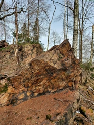
Bad Gottleuba, bus stop Ernst-Hackebeil-Straße - Bad Gottleuba, Markt - Mühlsteig - Talsperre viewpoint - Hartmannsbach - Raabsteine rock area - Kurklinik - Bad Gottleuba, Markt - Bad Gottleuba, bus stop Ernst-Hackebeil-Straße

Good to know
Pavements
Street (5%)
Asphalt (9%)
Gravel (20%)
Trail (36%)
Path (29%)
Best to visit
suitable
Depends on weather
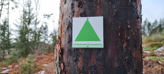
Directions
Bad Gottleuba, bus stop Ernst-Hackebeil-Straße - Bad Gottleuba, Markt - Mühlsteig - Talsperre viewpoint - Hartmannsbach - Raabsteine rock area - Kurklinik - Bad Gottleuba, Markt - Bad Gottleuba, bus stop Ernst-Hackebeil-Straße
Directions & Parking facilities
Bus routes 219 and 216
Nearby