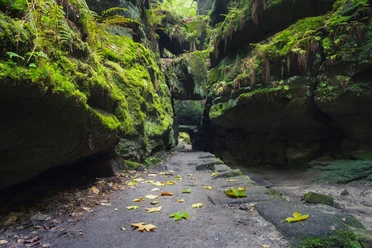
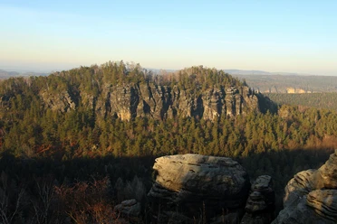
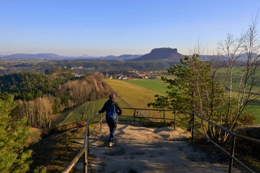
Wehlen-Rathener Elbweg

- 2:00 h
- 7.29 km
- 27 m
- 29 m
- 112 m
- 139 m
- 27 m
- Start: Town of Wehlen
- Destination: Town of Wehlen

Good to know
Pavements
Asphalt (35%)
Gravel (60%)
Path (5%)
Best to visit
suitable
Depends on weather
Directions
Stadt Wehlen - Pötzscha - Elbe cycle path - Kurort Rathen - Stadt Wehlen
Tour information
Loop Road
Stop at an Inn
Suitable for Pushchair
Equipment
- Onion-skin clothing and winter hiking boots
- Backpack with hiking map, snacks, thermos flask with a warm drink, smartphone, flashlight, first aid kit
- Hiking poles, ice goggles
Directions & Parking facilities
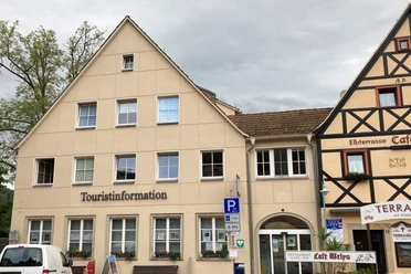
Parking
on the banks of the Elbe Wehlen
Public transportation
from/to Rathen and Wehlen: S-Bahn S1, ferry F8, bus 238
Safety guidelines
This is a blue route (easy tour, mostly flat, almost always walkable).
The hiking trails are not cleared of ice and snow. Please refrain from the winter hike in icy conditions.
Note: This is a barrier-free hiking route!
Pötzscha - Stadt Wehlen ferry:
Right Elbe: bumpy pavement, very steep
Left Elbe: bumpy pavement, very steep
Map
Winter hiking map of Saxon Switzerland - edition with winter hiking routes incl. winter refreshment stops
Nearby


Download GPX file