To the landmark of the Saxon Switzerland National Park: the Lilienstein


- 2:20 h
- 5.44 km
- 378 m
- 378 m
- 114 m
- 409 m
- 295 m
- Start: Königstein train station
- Destination: Königstein train station
Königstein train station - Ferry to Halbestadt - Blue stripe marking towards Lilienstein - Ebenheit - Southern ascent - Summit plateau - Northern descent marked with yellow/blue stripes - Kirchweg towards Königstein - Ferry to Königstein - Königstein train station

Good to know
Pavements
Best to visit
Directions
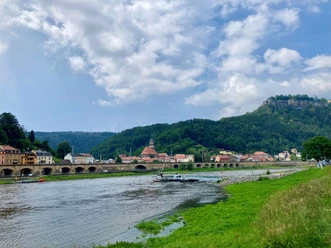
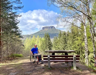
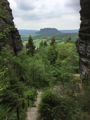
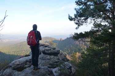
The Elbe almost completely loops around the 415.2 m high Lilienstein, the only table mountain on the right side of the Elbe. The summit plateau offers a phenomenal panorama of the Elbe Sandstone Mountains. A four-meter-high obelisk on the east side commemorates the visit of Augustus the Strong. It was destroyed by a lightning strike in 1966 and replaced by a replica in 2008. On the rock walls of the Lilienstein, upon closer inspection, white spots can be seen: bird droppings from birds that nest on the rock ledges. Ravens, kestrels, or the rare peregrine falcon could be the culprits. Peregrine falcons were introduced at Lilienstein in 1998 after being extinct in the 1970s. Peregrine falcons hunt exclusively in the air. Before seizing their prey, they reach diving speeds of over 300 km/h!
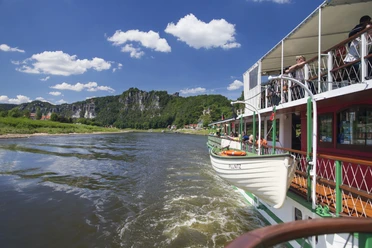
On the way down, we follow the northern descent marked with yellow/blue stripes. Upon reaching the bottom, we turn right at a junction and continue on the Kirchweg, parallel to the Elbe, heading towards Königstein. Then we take the ferry back to the other side of the Elbe to the starting point of the hike.
[GPS updated 2026]
Tour information
Cultural Interesting
Loop Road
Stop at an Inn
Summit
Equipment
Directions & Parking facilities
Additional information
- All rules in the national park
- Tips for safe hiking in Saxon Switzerland, created in cooperation with the mountain rescue service
- Information on dealing with deadwood especially for hikes through areas of dead spruce stands
Author´s Tip / Recommendation of the author
Safety guidelines
Please note: The tour takes place almost entirely in the Saxon Switzerland National Park. Here, trails must not be left and dogs must always be kept on a leash. Violations may result in fines.
Further information about the national park, for example about the applicable rules and about the trail markings, can be found on the national park website.
Nearby


Download GPX file