RockHead - Craft Your Gravel Story


- 22:45 h
- 328.19 km
- 5,085 m
- 5,081 m
- 735 m
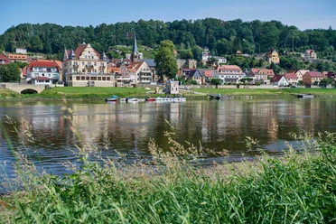
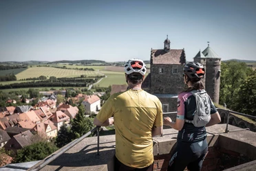
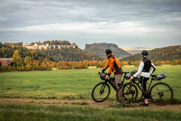
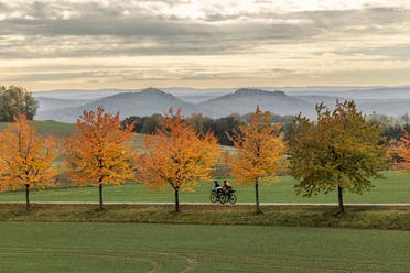
The name RockHead stands for 320 kilometers of freedom on two wheels. For sporting challenge and micro-adventure, dense forests and picturesque mountain ranges. For demanding climbs and fast descents. For historic mountain huts and panoramas so vast you can get lost in them. In short: for a lot of unknown terrain waiting to be discovered by you. RockHead is not a race against competitors but a challenge where you ideally overcome your own weakest self. The loop offers plenty of challenges. You always have the choice: whether sporting and strenuous or relaxed in time, camping or cozy lodging: You alone decide how you travel. Only you set your limits in the German-Czech border region.
From the end of September to mid-October, there will be impairments and detours on the black stage. More information can be found here. We ask for your understanding and consideration!
Good to know
Pavements
Best to visit
Tour information
Loop Road
Equipment
Gravel or mountain bike, bike helmet, bike glasses, puncture repair kit, rain protection, mini pump, bike lock, moisture-wicking jersey
Directions & Parking facilities
RockHead lies in the east of the Free State of Saxony and runs between the two regions Saxon Switzerland and Upper Lusatia. By car, you can reach Saxon Switzerland most quickly via the A17 or A4 highways. It is recommended to change from the A4 to the A17 at the Dresden-West motorway junction and then continue from the Pirna exit on the B172 towards Bad Schandau.
The A4 motorway runs through the entire Upper Lusatia. To get to the southern part there are several options. For example, if you want to use the B98 to Bischofswerda and Neukirch/Lausitz, the "Burkau" exit is established.
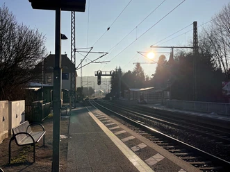
The official start and end point of the route is in the town of Wehlen (Saxon Switzerland region). Saxon Switzerland is seamlessly connected to the regional and long-distance network of Deutsche Bahn. With long-distance transport you can reach both Dresden and the National Park Station Bad Schandau directly, all other places from here by S-Bahn, bus, or ferry.
Since the route or the stages are route recommendations, it is also possible to start at another point along the route. The Upper Lusatia region is also well connected to Dresden's rail network. Key railway junctions are: Bischofswerda, Sohland/Spree, Eibau, Zittau, and Löbau.
More information on public transport in Saxon Switzerland can be found here.
Further information on public transport in Upper Lusatia can be found here.
Safety guidelines
There are currently some forest maintenance works between Rosenthal and Elbe. Therefore, there are changing detours on the yellow stage. We update the track accordingly.
On the black stage, shortly before the town of Hain (around km 184), there is a rather steep hill (up to 16% gradient) to Johannisstein. With a fully loaded bike, this can be quite exhausting, and you are forced to walk. For users who find this hill too steep, we recommend going around via Jonsdorf Street and then using Grenzstraße up to Johannisstein. You should not miss the view!
Nearby



Download GPX file