Malerweg Stage 2 Detour Due to Forest Closure Starting August 3, 2026


- 4:30 h
- 17.39 km
- 728 m
- 663 m
- 114 m
- 327 m
- 213 m
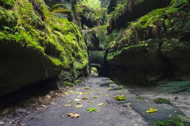
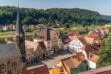
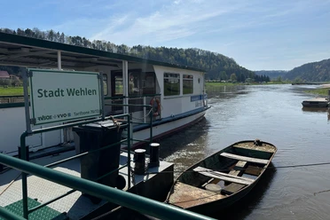
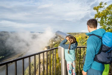
Due to a severe, localized storm event on July 31, 2026, the second stage of the Malerweg is closed in several places. This alternative route nevertheless leads to the spectacular Bastei viewpoint while bypassing the closed area. The tour begins at the end of the first Malerweg stage in the market square of Stadt Wehlen. From there, follow the Malerweg signs toward the Elbe River and turn right onto the Elbe Cycle Path. Next, a vigorous ascent leads right via the Schanzenweg trail to the "Steinerner Tisch" (Stone Table). Malerweg markers then guide you along the Fremdenweg trail to the Bastei Bridge and the Bastei viewpoint. From this point, the route deviates from the standard course of the second Malerweg stage. First, hike back along the same path; shortly before the hotel parking lot, turn right following the "blue line" trail marker toward the Schwedenlöcher. After approximately 300 meters, the path turns right onto the Gansweg. At a small rest area, turn left to enter the Schwedenlöcher and descend into the Amselgrund valley. Once there, follow the Malerweg signs to the left toward Amselfall and Rathewalde. Above the Rathewalder Mühle (mill), the route leads via Teichstraße and Querweg, then continues along Hohnsteiner Straße. Before the intersection, cross the road at the bus stop and walk past the Hocksteinschänke inn to the Hockstein parking lot. From there, continue to the Hockstein viewpoint and through the Teufelsgrund valley. Then, turn right into the Polenztal valley. From the Polenztal inn, the alternative route deviates from the standard course once more. Cross the bridge to the left of the inn and follow the "green line" trail marker into town. The second stage ends in Hohnstein. Note: The closure is currently in effect until August 31, 2026. Please check whether the closure has been extended or shortened. The general order regarding the forest closure can be found here: https:

Good to know
Pavements
- Street (5%)Asphalt (21%)Gravel (17%)Trail (16%)Path (41%)
Best to visit
- suitableDepends on weather
Additional information
- Touristinformation Hohnstein: +49 (0) 035975 19433 o. 86813
Touristinformation Kurort Rathen: +49 (0) 035024 70422
Touristinformation Wehlen: +49 (0) 035024 70414