junction path


- 5:00 h
- 14.85 km
- 513 m
- 515 m
- 115 m
- 356 m
- 241 m
- Start: Health resort Rathen
- Destination: Health resort Rathen
Winter refreshment open
Polenztal Inn
Cosis store Bistro am Markt in Hohnstein
Brand-Baude

Good to know
Pavements
Asphalt (12%)
Gravel (61%)
Trail (4%)
Path (23%)
Best to visit
suitable
Depends on weather
Directions
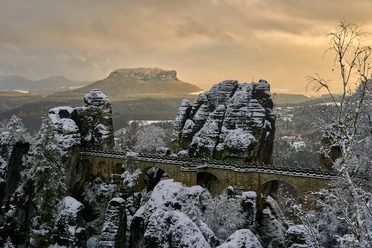
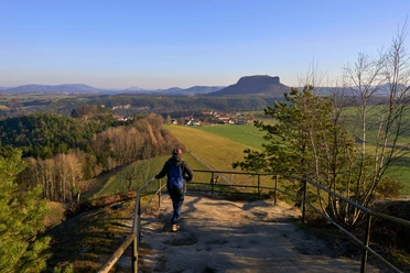
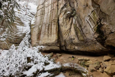
Kurort Rathen - Amselgrund - Knotenweg - Hockstein - Polenztal - Hohnstein - Brandstraße - Brand - Schulzengrund - Polenztal - Polenztalweg - Füllhölzelweg - Kurort Rathen
Tour information
Loop Road
Stop at an Inn
Equipment
- Onion-skin clothing and winter hiking boots
- Backpack with hiking map, snacks, thermos flask with a warm drink, smartphone, flashlight, first aid kit
- Hiking poles, ice goggles
Directions & Parking facilities
Parking
Oberrathen
Public transportation
from/to Rathen: S-Bahn S1, resort's own ferry
Safety guidelines
This hike is a red route (moderately difficult tour, with slight inclines, possibly difficult in deep snow).
The hiking trails are not cleared of ice and snow. Please refrain from the winter hike in icy conditions.
Map
Winter Hiking Map Saxon Switzerland
Edition with selected hiking routes including winter stops
Nearby

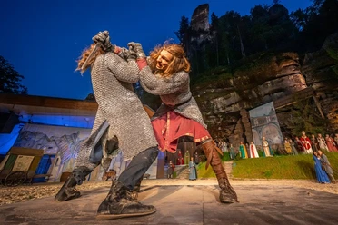

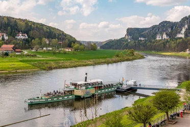
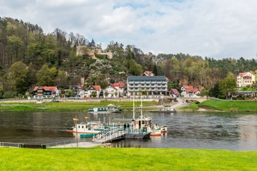
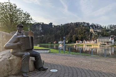
Download GPX file