Route for little cave explorers


- 1:35 h
- 4.48 km
- 207 m
- 206 m
- 277 m
- 432 m
- 155 m
- Start: Papstdorf, Alte Hauptstraße, restaurant "Zur Hoffnung"
- Destination: Papstdorf, Alte Hauptstraße, restaurant "Zur Hoffnung"

Good to know
Best to visit
Directions
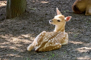
Immediately after the restaurant "Zur Hoffnung", turn left from Dorfstraße and follow the "Red Line" marker towards Kleinhennersdorf, passing the fallow deer enclosure and the rest area "Brennesseleck". After the "Brennesseleck", leave this hiking trail after about 200 meters, turn left and follow the signpost "Kleinhennersdorfer Stein/Caves". From here, you can also easily orient yourself by the forest trail marking - a yellow vertical stripe on the trees. After the last steps, turn slightly right and you can discover the Hampel cave behind the large rock blocks.
Especially the Königstein family Hempel (later Hampel) extracted sand here for over 40 years (until 1918). This fine sand was sold as plaster and scrubbing sand. Packed in sacks, it was transported to villages in the Saxon Switzerland region and as far as Dresden. In 1918, a tragic accident occurred when Friedrich Hermann Hempel was killed at work by a falling sandstone block. With his death, the scrubbing sand trade ended.
Back on the forest trail, head directly to the Lichter cave (forest trail marking). After visiting the Lichter cave and standing again on the small forecourt, keep left and circle the rock massif clockwise. After about 100 meters, on the north side, is the entrance (narrow gap) to the Ice Hole cave. After exploring the last cave, continue until you reach the steps of the ascent again after a few meters and descend them. Now just follow the "Red Dot/Malerweg" marker to Papststein. Upon reaching the mountain inn, the view of the Hunskirchen cliffs can be found on the right at the same level.
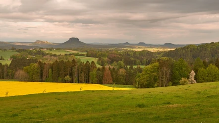
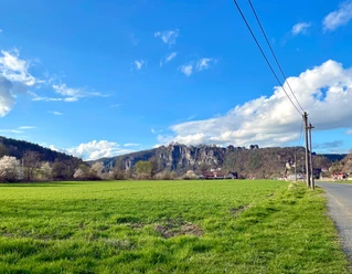
The Hunskirchen are climbing peaks whose name derives from Middle High German, meaning "High Peak." However, if you ascend the metal steps on the left, you reach the summit of Papststein with further viewpoints and the tower (currently not accessible). From here you also have a view of Kleinhennersdorfer Stein, the Schrammsteine, and Lilienstein. From the summit of Papststein (452m), you can see the village of Papstdorf at your feet. Directly opposite is the Gohrisch, and behind it, you can spot the Pfaffenstein. Further away you can see the Hoher Schneeberg with its observation tower, the Zschirnsteine, Zirkelstein and Kaiserkrone, the Großer Winterberg, and in Bohemia the striking basalt cones of Rosenberg and Kaltenberg.
The descent to the saddle/parking lot is marked with the "Red Dot/Malerweg" signpost. Those who came by hiking bus can also board bus 244 here at the "Papstdorf/Papststein" stop or hike back to the starting point via the Hans-Förster-Weg (Weinleite), marked with the "Red Dot/Malerweg".
Tour information
Loop Road
Stop at an Inn
Tour with Dog
Equipment
Don’t forget a pocket or headlamp!
Directions & Parking facilities
Parking lot at Papstdorf school (free of charge)
To reach the starting point of the hike, walk about 300 meters along Dorfstraße (Alte Hauptstraße) towards Krippen. Shortly after the restaurant "Zur Hoffnung", turn left and follow the signposts.
Additional information
Here you can find everything about hiking in the Elbe Sandstone Mountains.
All of our hiking routes with free GPX downloads are available directly on our website.
Author´s Tip / Recommendation of the author
This route offers something for everyone - children and adults alike.
A small path with sandy patches and some steps leads to the caves at Kleinhennersdorfer Stein. Be sure to stay on the paths, as clear signs of erosion damage are visible everywhere.
Safety guidelines
Nearby

Download GPX file