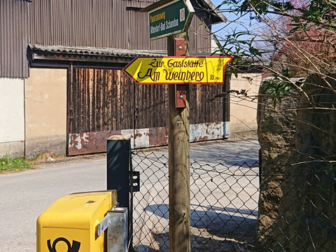
This hike with impressive views of Saxon Switzerland leads from Goßdorf via the beautiful panoramic route to the Beuthenfall into the Kirnitzschtal.
The route is about 7.5 kilometers long and, with only one somewhat longer ascent from Gossdorf-Kohlmühle up to Adamsberg, can be classified as relatively easy. However, it offers especially beautiful and impressive views. Along the way, you pass through the small but charming villages of Altendorf and Mittelndorf, gaining an impression of rural life in Saxon Switzerland. At one point—the so-called Schaarwiese—you even get the feeling of looking down on an alpine meadow before arriving in the Kirnitzschtal.
If you like, you can finish with a ride on the historic Kirnitzschtalbahn from Beuthenfall through the picturesque Kirnitzschtal to Bad Schandau or even hike the also very interesting Flößersteig, about 9 km long, along the Kirnitzsch river to Bad Schandau!


